Namely, snow.
With chilly temperatures, combined with wind-chill values at or below the freezing mark, snow showers are likely at times this weekend, especially Sunday morning.
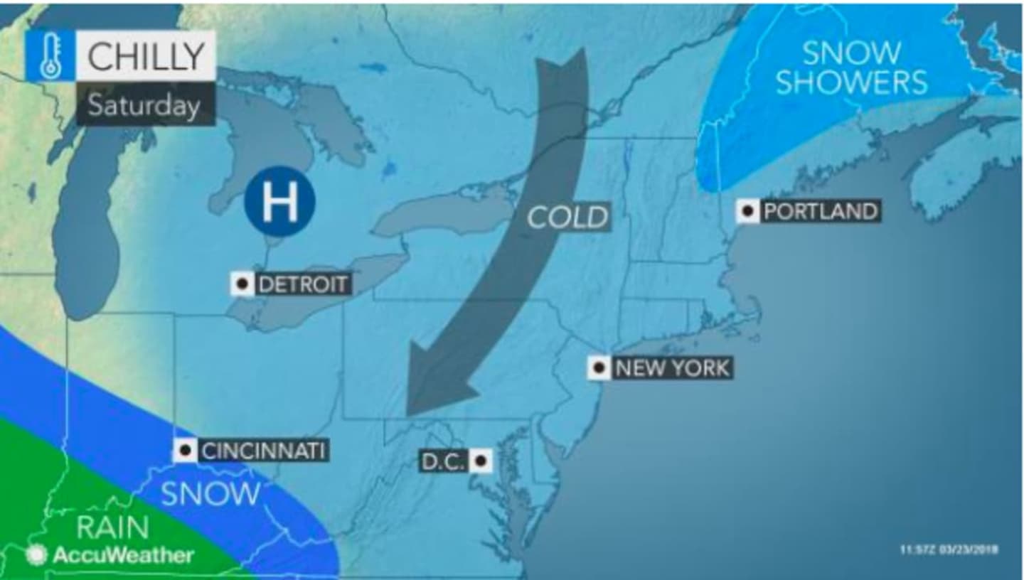
Saturday will be a partly sunny day with a high in the mid-40s, but northwest winds of between 10 and 15 mph making it feel like it's between 25 and 35 degrees.
More clouds will roll in Saturday night with an overnight low in the mid-20s.
Sunday will start with scattered snow showers at around 8 a.m., lasting until early in the afternoon when the high temperature hits 40, with scattered rain showers then likely.
Wind-chill values will be between 15 and 25 degrees Sunday with wind gust up to 20 mph.
Skies will clear overnight Sunday into Monday, which will be a sunny day with a high in the low-40s.
Temps will rise to a high of around 50 on Tuesday under mostly sunny skies.
Check back to Daily Voice for updates.
Click here to follow Daily Voice Norwalk and receive free news updates.